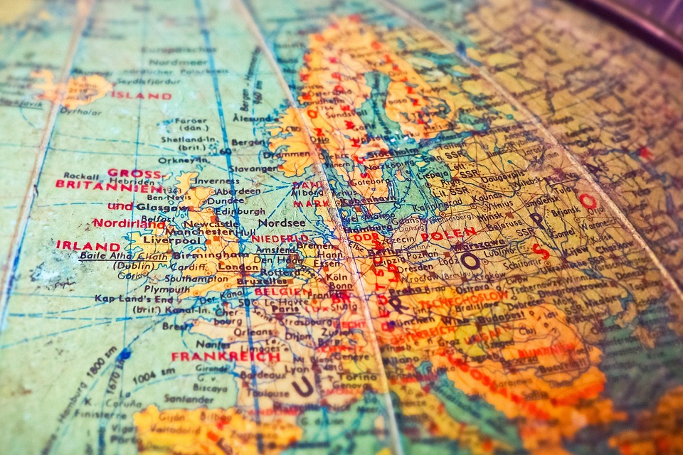
Europe lies mainly ont he northern and eastern hemisphere, but a little part of it lies ont he western one as well. Europe ont he east tightly belongs to Asia that is why it is sometimes called the peninsula of Asia. Their common name is Eurasia.
Europe expands from the Arctic Ocean to the Mediterranean
Sea, from the Atlantic Ocean to the Ural mountain and River Ural. It is
separated from Africa by the Gibraltar strait. Ont he south it is bordered by
the Marble Sea, the Black Sea, the Caucasus, and the Caspian Sea.
Its coast is the most indented related to the other
continents.
-
Big peninsulas: Scandinavian p., Iberian p., Appennine
p., Balkan p.
-
Seas: Baltic Sea (with the Botten and Finnish bays),
Northern Sea, Adriatic Sea, Aegean Sea
-
Islands à Iceland, British Isles (Atlantic Ocean)
à Corsica, Sardinia,
Sicily, Crete, Cyprus (Med. Sea)
At the coasts of the Scandinavian
peninsula and on the northwestern side of the British Isles there are several fjords. They were originally formed by rivers but later in
the Ice Age they were deepened by glaciers. They are good ports because water
is silent and calm in the fjords.
At the coasts of the Baltic Sea the water deposits its
alluvium that is why turzások arise in front of
the coast. The turzások sometimes enclose bays,
these are called lagoons. The
sand that is brought to the coast by the sea is accumulated by the wind à
it is called dune.
At the coast of the Bretagne peninsula the tall coast is
constantly destroyed by the waves and tides. This is called dying tall coast pusztuló
magaspart (à
ez animal gardenes fordítás:S).
Europe is divided into:
- Northern Europe
-
Southern Europe
-
Eastern E.
-
Central E.
According to the similar historical development of certain
countries Central Europe is divided into East-Central-Europe and
West-Central-Europe. The countries of Southeastern Europe mainly belong to the
second one.
Geographical
history of Europe: - its ancient core wandered to its present location
from the
southern
hemisphere
1.) oldest
area: Baltic Shield
- it has been strongly
destroyed
- Its minerals(copper ore,
nickel ore, iron ore) can be mined easily
- today it is covered by
young sediments
2.) Paleozoic Era: Because of the tectonic movements
oceans ceased to exist and mountains
formed
Mountains formed int he Paleozoic, destroyed block
mountains:
-
Scandinavian mts.
-
Mountains of the British Isles
-
French, Polish, German block mountains
-
Peripherical mountains (peremhg.-ek) of the Czech basin
-
Ural (it is a continent divider)
3.) Mesozoic
Era:
-
fragmentation of Pangea started and it was separated
into Laurasia and Gondwana
-
basin of the Atlantic Ocean formed
-
the folding of the Eurasian mt. System started
-
repeated sea floods à thick sediment layer
formed
covered the ancient shields
steps came into being
-
plains formed by the deposition of rivers
-
rocks: limestone, sandstone, dolomite
-
came into being: mineral oil, natural gas, bauxite,
rock salt
4.)/a.) Tertiary period of the Cenozoic Era:
- folding of the Eurasian mt. system
Pyrenees, Alps, Appennines, Carpathians, Dinarian mts., Balkan mts., Caucasus
-
 brown coal, mineral oil,
natural gas formed
brown coal, mineral oil,
natural gas formed
b.) Quaternary period of the Cenozoic Era:
ICE AGE à ice cover reached the northern latitude 50
destroyed the surface
plateaux of the Scandinavian mt.
Eastern-European plain
+
Accumulated
moraine lands (morénavidékek) à
northern part of the E.-European plain
à
German plain
à
Polish plain
-
due to the cool climate the high mountains close to the
ice cover became icy
-
strong, dry windsmade huge standstorms, and the
subsided (leülepedett) sand later turned into loes covers. E.g.: southern part
of the Eastern-European plain
-
after the Ice Age: - the continent started to raise
because it got rid of the weight of the
ice cover à
it modified the coast
-
today’s plains and the water system formed

Megjegyzés küldése